How satellite images and deep learning can fight global poverty
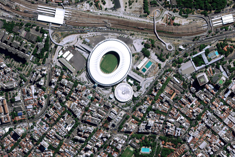
Satellites are best known for helping smartphones map driving routes or televisions deliver programmes. But now, data from some of the thousands of satellites orbiting Earth are helping track things like crop conditions on rural farms, illegal deforestation, and increasingly, poverty in the hard-to-reach places around the globe.

